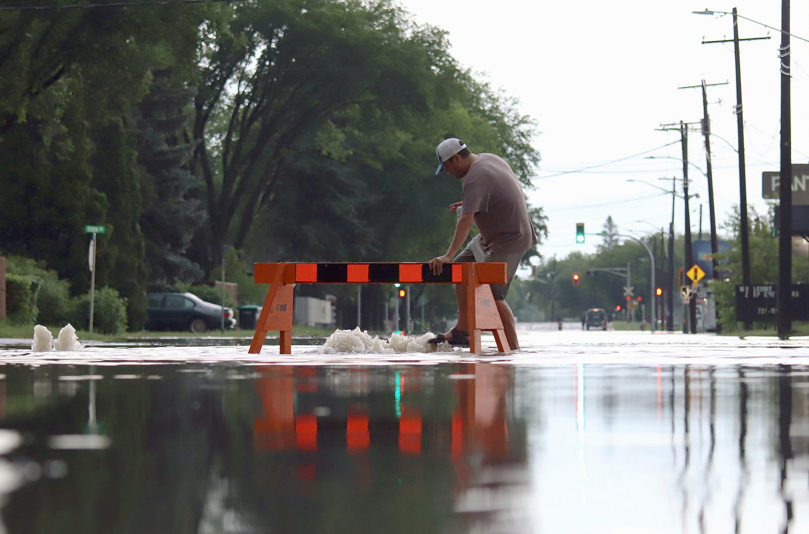
Brandon was hit with a series of severe thunderstorms Sunday evening, June 28, 2020, that left streets flooded with as much as two feet of water in some areas.
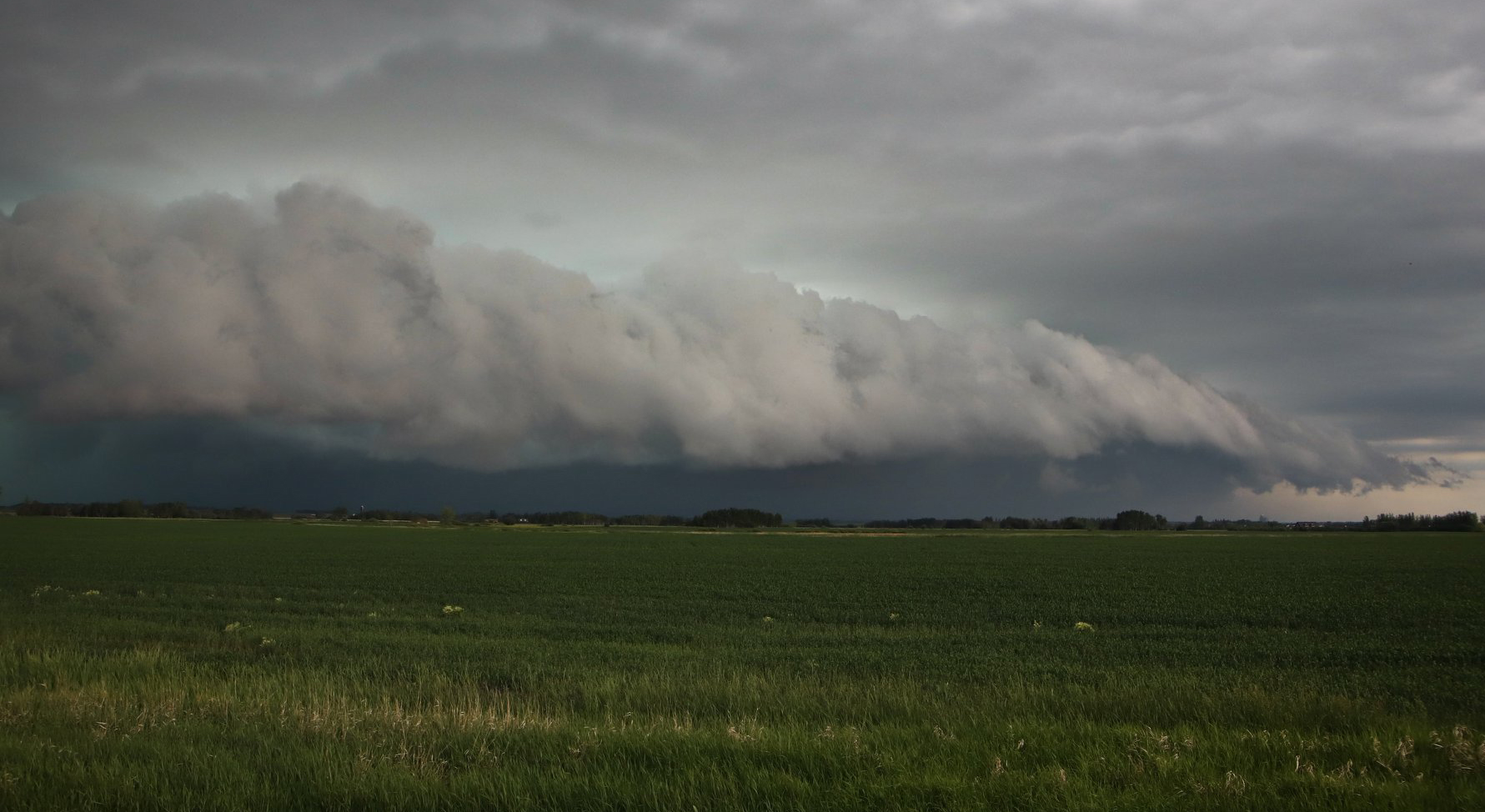
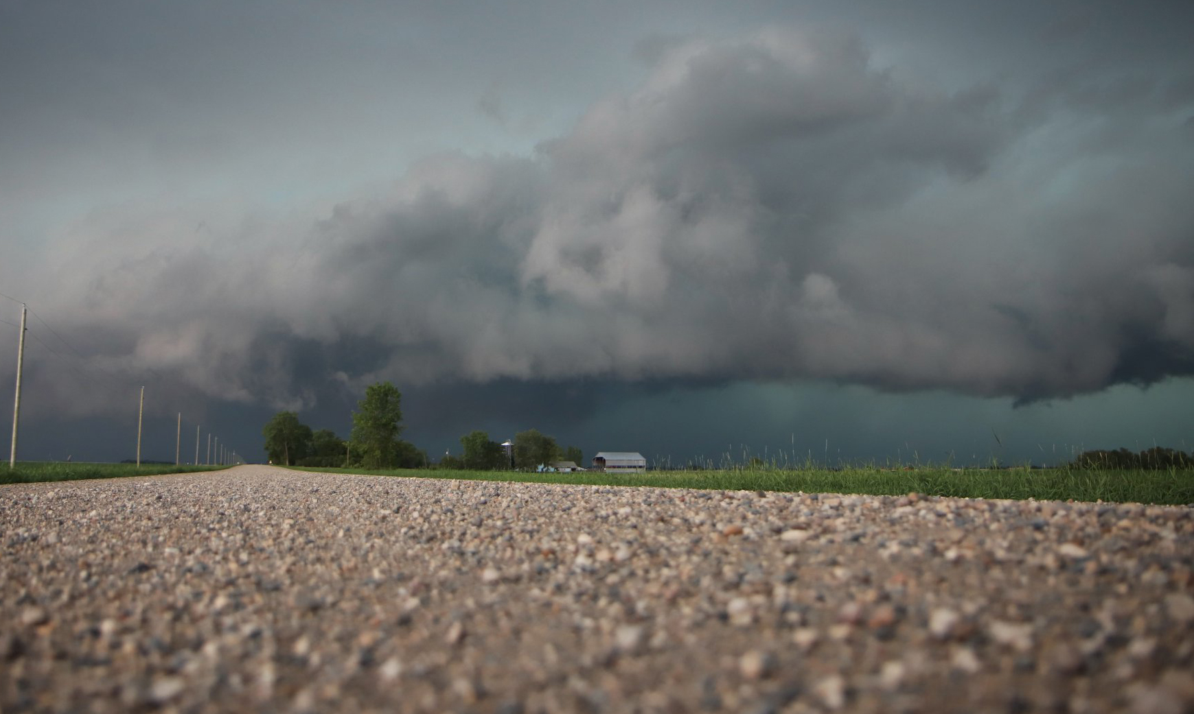
The storms began moving through the wheat city just after 3:00 pm continuing throughout the evening. Heavy rain at times and moderate hail fell in the city.
Just over 100mm of rain fell during the first wave of storms between 3:00 pm and 7:00 pm.
Manitoba Hydro reported dozens of outages in the Brandon area caused in part by downed power lines during the storm.

Unconfirmed reports say that a tornado was spotted on the ground near Rapid City about 40 kilometres north of Brandon.
During a lull in the storms, Brandon photographer Liam Pattison took to the streets to capture flooding in the Western Manitoba city.


More thunderstorms are forecast for Brandon and other parts of southern Manitoba, including Winnipeg throughout the week.
© News4.ca 2020


